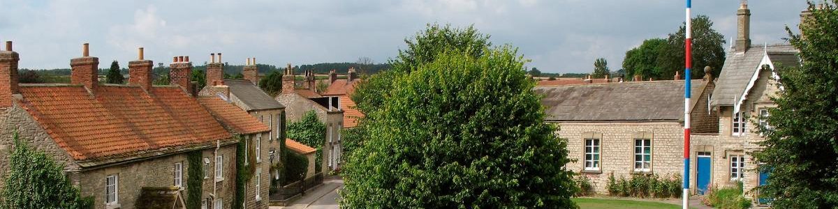
The Slingsby local history group project for 2018 is to collect and present more information about the medieval castle (and its 17th century successor).
The ruined structure, which is normally visible through the tree cover, tells only a small part of the story. It is possible that the site, on a slightly raised mound, is a site of significance, which has origins dating back to before roman times, given the evidence of bronze, iron and roman sites in the parish.
The medieval castle superstructure, demolished in the 16th Century, is thought to have developed from one of two manor houses tenanted according to 12th century records by the Wyville family. Six generations of Wyvilles lived in the village including Sir William Wyville, of supposed dragon slaying fame, whose 15th century effigy lies in the present church. When the Wyvilles fell from court favour, ownership passed to the powerful Hastings family and from 1216 they developed a defensive castle. At that time castles were often developed by private noblemen, licensed by the monarch in the interests of security from uprisings and foreign attack. They were usually located within a day’s ride of each other, but it is thought unlikely that many of them ever saw serious battle. Their owners visited them when in the north, but were more likely to be resident nearer to the court of the day, where they often held high office.
The final phase of Slingsby old castle development began in 1462, when William, Lord Hastings was given permission to expand it further. He served in the court of Edward IV as Lord Chamberlain and Master of the Mint, accompanying the king on missions abroad. He took an active part in the Wars of the Roses and was a high profile player in turbulent 15th century life. He supported the Yorkist cause but fell out with Richard III and was beheaded. Slingsby Castle was abandoned. Hastings was later re-instated and buried in St Georges Chapel Windsor. At its abandonment the castle was a large structure, described as having four angle towers and a large gatehouse as well as a private chapel, and hall. It was surrounded by a bailey wall and a moat of about 80 feet wide, fed from Wath Beck. We think that some of the stone ramparts still may exist along with the undercroft to the hall.
The life of Slingsby village would have been closely bound up with the operation of the castle itself, and the villagers would have been kept unusually up to date with the activities of the court at the time.
This is a very brief early history of the castle. Keep an eye open over the coming year for more events and information.
Please also note that the present castle structure (privately owned) is not open to the public because it is in a highly dangerous state. Please do not attempt to enter it.
Margaret Mackinder
The medieval landscape around Slingsby Castle
In February 2018, Slingsby Local History Group welcomed back Steve Moorhouse, a visiting research fellow at Leeds University. He has a particular interest in the interpretation of medieval landscapes. This was an outdoor visit to look at the area of original parkland around the castle. We met on a dank day and inspected the outer ramparts of the castle and looked at the deep ditch on the western side, with special permission from Stephen Prest. Mr Moorhouse has been interested in the castle at Slingsby for some time and is hoping to do some more research work on it and return for a further illustrated talk in June.
His initial thoughts on seeing the site with the trees out of leaf and from his researches, are that Slingsby Castle has a relatively small associated park extending northwards beyond the disused railway line, running along the old parish boundary, and not as far as Brickyard farm. The original hedgerow marker has now disappeared, but shows on maps well into the 20th century. The area is much too small for a deer park, so assumptions that there was one was probably incorrect. While many castles had them, many did not, as the area needed to keep deer for hunting had to be large. The park at Slingsby would have been fenced-in and would have included the water mills and mill ponds to the west of Railway Street.
There may also have been fishponds, which are mentioned in later centuries as being near the former Rectory, and also a rabbit warren for meat. The enclosure, probably a stock-proof hedge, would have been solid enough to keep rabbits and horses and other livestock in, rather than keeping people and animals out. Steve Moorhouse identified the fact that the positioning of the group of houses on The Lawns relate to the much older property of Ashlea, (Peter Smithson’s house) which appears on all the older maps including the tythe maps. He suggests that the origins and site of this property would have been the ‘help’, or service yard related to the everyday comings and goings of the castle. Visitors’ carts and horses would have been accommodated there, although horses would have been let loose in the park. The Lawns road would have been the route to it. This seems to give a reason for the existence of the Lawns road and houses being so strangely placed outside the main village. The help would have housed all the activities, workshops and equipment which was not needed to be stored in the castle.
Recent talks have illustrated that inland castles like Slingsby were mainly symbols of power in the landscape and houses for the rich and powerful. Although they had defensive features like gatehouses and ramparts and outskirts, most never saw battle and may not have withstood a serious assault if it had happened. There would therefore have been small service and workshop buildings outside the castle, without too much regard for security.
Steve Moorhouse will give a further illustrated lecture on Slingsby Castle and its landscape at 7pm on 19th June in the Village Hall (entrance £3).
Margaret Mackinder